MEASURE WHAT MATTERS


POWERHOUSE OF DATA COLLECTION.
Air Data Solutions LLC (ADS) is an industry leader in aerial mapping using a wide array of sensors and platforms. We are a small Hubzone Certified business with a large footprint and committed to rapidly supplying the highest quality data products to our clients.


WHO WE SERVE
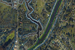
ADS offers a suite of mapping services to local, state, and federal government agencies, as well as engineering and survey, construction, agricultural, and the oil and gas industry. Our aircraft and pilots are based in strategic parts of the US allowing us to deploy quickly anywhere in the continental U.S. or Hawaii, providing our clients with the best data when they need it. ADS owns and operates a number of different sensor systems including; standard RGB imagery, 4 band imagery, LiDAR, Thermal, and Methane leak detection systems.
Engineering & Construction

Government

Oil & Energy

Conservation

Agriculture

Academia & Research

Our Commitment
ADS prioritizes clear client communication and satisfaction throughout all phases of our projects. From planning and proposal to data collection and delivery, our team maintains clear lines of communication with our client.